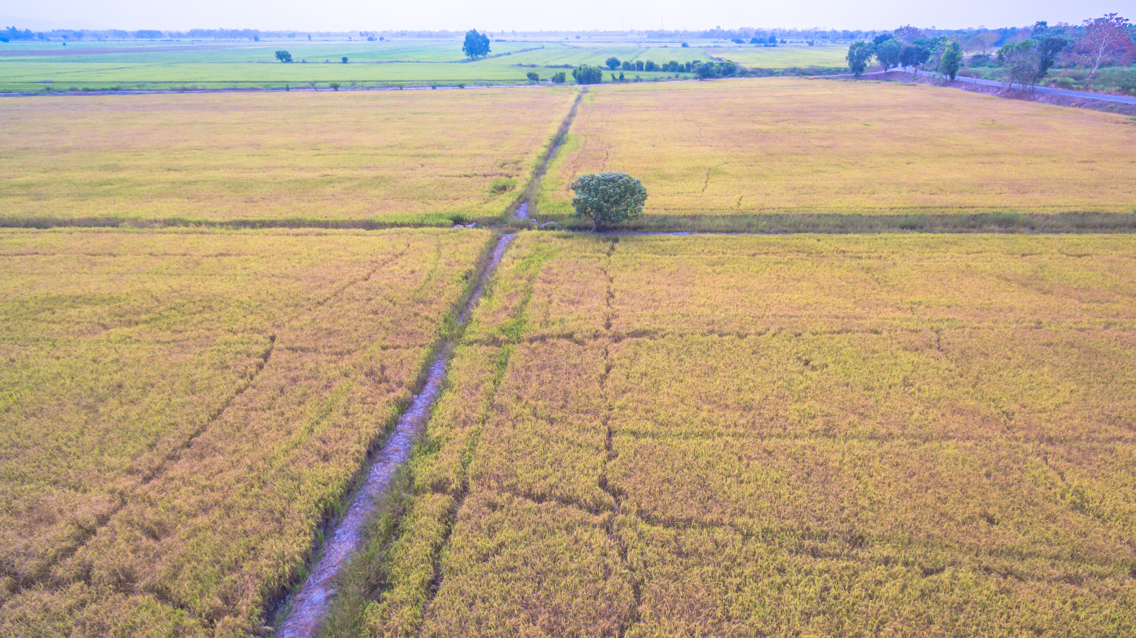
The Hunter Canal is a significant piece of local history. Many people living in and around Maurice today may need to become more familiar with it. For those who grew up in the Maurice area before the 1970s, it holds memories of fishing and swimming. It was a private enterprise that served as a crucial source of irrigation water for the rice farmers around Maurice. However, for many new residents, the name “Hunter Canal” or the later name “AVRI Canal” may not hold much significance.
Today, the remnant of the canal system is barely recognizable, with only a few overgrown tree-lined or filled ponds remaining along its course.
In January 2015, history columnist and published history author William Thibodeaux wrote an article titled “Rice, Railroads and Irrigation Canals in Vermilion.” The article provides many facts about one of America’s most significant irrigation projects, which began in 1899 by Samuel S. Hunter and William H. Hunter of Shreveport.
The Hunter Canal irrigation project was not just an undertaking but a testament to the grandeur of Samuel S. Hunter’s vision. It commenced with installing a large water pumping station on the western bank of the Vermilion River, located just south of the drawbridge that enters the town of Milton. Initially, the pumping station was planned to be placed on the Vermilion two miles south of Abbeville. However, it was relocated ten miles to the north due to concerns about saltwater contamination. Samuel S. Hunter’s vision was to dig a canal many miles westward into the heart of the rice cultivation region to supply fresh water, which would be pumped from the Vermilion by large coal-fired steam turbines. He planned to dig the canal to a depth of six feet, with levees on either side, at a width of about 200 feet. The first phase would run about twenty miles in a westward direction.
It was written in the local paper that Samuel S Hunter chose the fourth of July 1899 for the groundbreaking ceremony to announce he had been securing the right of way and making surveys preparing to locate a definite route for the canal. Sam Hunter announced the canal would be built from the Vermilion River, traveling ten miles west, then five miles south, and again five miles west. He also explained that numerous laterals would run out along the main canal route in addition to the main canal. The original plan for the Hunter Canal was to be 200 feet wide and have a capacity to irrigate 100,000 acres of rice land. It was later reported the canal would be 150 feet wide from levee to levee. The crews used hundreds of mules with dirt pans to put the levees on either side. It’s hard to imagine how such a thing was possible in 1899 with no mechanized earth-moving equipment.
The year after the canal began operations, it was reported that the rice crop was very good. It was reported, “Along the Hunter Canal, there is some very fine rice.” The article described how there were several thousand acres along the canal. The water pumps could now irrigate anywhere from 40,000 to 60,000 acres of land, and they expect this for the following year. The pumping plant in Vermilion Parish used heavy machinery and pumps. The Hunter Canal Co. continues to extend its reach beyond the initial canal. The canal extensions will be 100 feet wide and about 15 miles long.
In 1901, a significant concern for the Hunter Canal Company was the increase in the salt concentration in Bayou Vermilion’s water. The Hunter Canal Company set its pumps on a site several miles north of Abbeville, across the bayou from the Miton community. It would be less prone to saltwater interference. Still, they were forced to reduce the amount of water they pumped from the Vermilion Bayou to avoid drawing water up from the Vermilion Bay. The Vermilion Bayou is a tidal river, meaning its level is greatly affected by the bayou’s tide and water flow from rain in the region.
The success of the Hunter Canal Company brought about a legal claim by an individual, S. O. Nuckalls, who claimed to own the title to the land where the company’s plant is located. Nuckalls claims the original land grant (a land patent) was issued to John R. Faulk, who died in 1808. After hearing the evidence, the courts ruled for the Hunter Canal Company.
The scale of the pumping station on the Vermilion was impressive. In 1902, moonlight steamboat excursions would travel up from Abbeville on Friday nights to the pumping station with music and dancing on board.
With water availability for rice irrigation, many farmers abandoned their cotton crops along the canal. Years of battling the boll weevil farmers and cropland more conducive for rice crops increased rice acreage for the Hunter Canal Company.
The citizens in the area at the time complained to the Vermilion Parish Police Jury that the wooden bridges built to cross the Hunter Canal along its route were so steep to get over the levees that it was difficult for horse-drawn carriages (the primary source of transportation) to travel across the bridges in the early days. The Police Jury came out with a standard to be used to avoid this problem. I recall how, in the 1970s, traveling too high a speed over bridges could result in a Dukes of Hazard moment, launching the vehicle through the air.
The canal engineers designed and constructed wooden aqueducts across natural drainage canals along their route to reach more locations. This allowed the drainage canal to function and expand the canal to get more regional rice farmers. Speaking to some who lived along these aqueducts, they described how they made excellent spots for swimming holes.
Today, many residential and commercial developments are coming along the East and West Etienne Road. Most wouldn’t know this road was created in 1924 to travel alongside the Hunter Canal. The land along the southern border of West Etienne to Bella Road was the base of the Hunter Canal. At Bella Road, the canal turned southwest and crossed SH343, adjacent to Mr. Hayes Broussard’s farm. From there, it continued westward past Leroy up to the Andrew community.
In 1925, Mr. A Kaplan, a leading capitalist from Crowley, purchased a controlling interest in the Hunter Canal Company. The $500,000 paid at the time would equal roughly $8.5 million in today’s dollars. Mr. Kaplan announced plans to integrate the Hunter Canal Company network of canals with other commercial irrigation systems across Vermilion and Acadia Parish. The new name became Acadia Vermilion Rice Irrigation Company, AVRI. Part of the transition included installing a new pumping system and engines to drive the pumps. The irrigation network of canals controlled by Mr. Kaplan represented the largest irrigation system in the rice belt of Southern Louisiana and probably the entire rice-growing world.
Maintaining such an expansive canal system was the job of several canal managers and their maintenance crews, referred to as the “Water Boys,” who were led by a “Water Boss.” These men would travel the canal by horseback along the levees to locate leaks. As the beaver, muskrat, and nutria population grew along with the canal system, so did the leaks. Plugging a significant break in the canal levee was an inglorious and challenging job for men working in remote areas with hand shovels. It’s not like they could drive there with a tractor backhoe and fix the break; it was all done by hand by dozens of men using shovels and sacks of dirt.
The path of the AVRI canal cris crossed many roads and canals as it made its way west and then north and south. In 1981, after eight decades of pumping water from the Vermilion Bayou to rice farmers in South Louisiana, the AVRI would turn off its pumps for the last time. As reported in the Daily World on March 26, 1981, AVRI management has experienced rising production costs, and a need to rebuild some of its water systems has prompted a shutdown of its pumps. The threat of saltwater intrusion and the lower cost of drilling large freshwater wells inland powered by lower operating cost electric or natural gas engines reduced acreage for the AVRI canal. Still, shutting down the canal would affect 34,000 acres of Iceland. Local county agent for Vermilion Parish James Dardeau stated that many farmers were turning to soybeans instead of risking their income on a rice crop.
Not long after this decision, civil engineers began to survey formerly active irrigation canals to recover the land area for development. Depending upon the terms of the right-of-way contract between the adjacent landowner and the canal company, some land would revert to the landowner. In contrast, others would remain the property of the AVRI company. In some cases, vague records led to challenges in court to recover the land.
Along the West Etienne Road near Maurice, all that remains of the once extensive canal system is a drainage ditch that traveled along the side of the canal to direct water from leaks to the local drainage canal. Many homes and businesses have now built upon the land that carried millions of gallons of water westward to rice fields.
The editors of Maurice Today invite readers who have photos to submit the photos alone or with a story about the photo, and it will be presented in a follow-up to this story.


